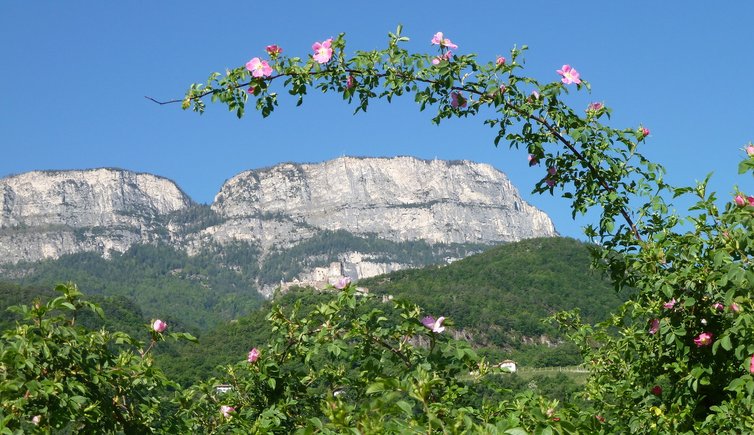
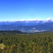
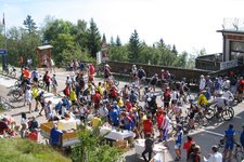
The Mendola Ridge with the 1,363 m high Passo della Mendola represents the border between the Trentino and South Tyrol
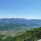
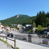
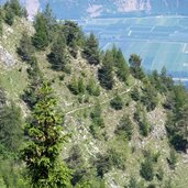
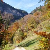
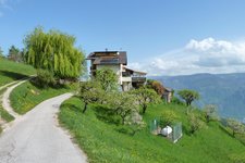
The 35 km long Mendola Ridge stretches between the Val di Non valley in the west and the Valle dell’Adige valley in the east. To be more precisely, it proceeds from the Passo delle Palade mountain pass (1,518 m a.s.l.) south of Merano to the 1,866 m high Mt. Macaion above the valley basin of Bolzano, makes a turn towards the Passo della Mendola mountain pass (Mendelpass) and traverses the Oltradige area and the entire Bassa Atesina area down to the Rotaliana Plain near Mezzocorona in the Trentino. “The Mendola”, however, refers only to the Passo della Mendola and its surroundings, a popular excursion destination and a beautiful viewpoint.
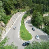
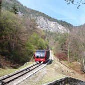
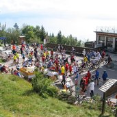
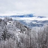
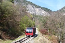
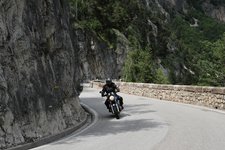
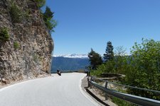
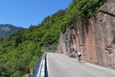
The 1,363 m high mountain pass is accessible from Appiano or Caldaro along the SS42 state road. The winding mountain road was built in the 19th century and represents nowadays a popular destination for bikers and motorcyclists alike. Also the Mendola Funicular, one of the steepest funiculars throughout Europe, takes you to the top of the pass. It starts in San Antonio in Caldaro and overcomes an altitude difference of 854 metres in just 12 minutes.
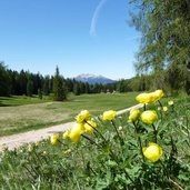
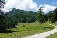
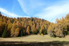
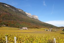
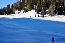
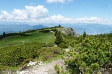
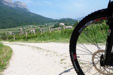
Due to the mild climate, on the slopes of Mt. Mendola grape varieties such as Gewurztraminer, Pinot Blanc and Sauvignon grow exceptionally well, whereas in higher altitudes spruce forests prevail. In summer, the Passo della Mendola attracts many visitors, also the inhabitants of Caldaro, with beautiful hikes to the neighbouring Mt. Penegal and Mt. Roen. In winter, however, there’s a little skiing area offering 2 km of slopes and a ski lift. The Rif. Oltradige al Roen mountain hut at 1,775 m a.s.l. is the only refuge in the Mendola Ridge with overnight accommodation.
