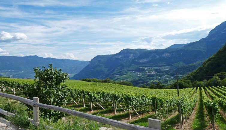
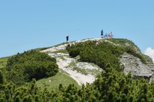
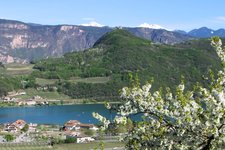
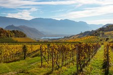
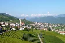
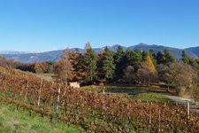
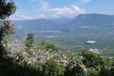
This circular tour through the woods of Termeno - pleasant all over the year - overcomes 567 m of altitude difference
Image gallery: Mountain bike tour to Corona
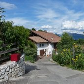
Our mountain bike tour starts near the upper bridge of the Rio Höllenbach in Termeno (Tramin) and leads us first to Castel Rechtenthal. On the left-hand side we follow the signposts towards the Zogglerwiesen meadows and Corona (Graun) along the steep uphill road. Past the Zoggler Forest Hut we arrive at the eponymous lake. Afterwards the trail proceeds less steep towards Corona (no. 9) - the pleasant forest path turns into an asphalt road and passes a farm.
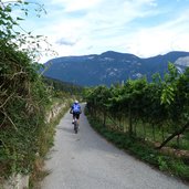
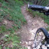
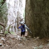
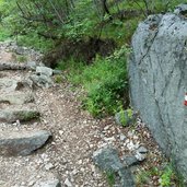
It takes us straight to the village centre of Corona, a component locality of Cortaccia at 800 m a.s.l., where several rest points invite to stop. At the local fountain we turn into the road no. 5 (Lochweg) leading back into the valley. First the downhill ride takes us through the vineyards, then a more demanding section on a path covered by leaves snakes its way through a rocky landscape. You have to be fit and experienced to overcome this section without getting off the bike!
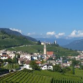
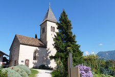
After the junction with the Kastelaz Path the trail proceeds further downhill and turns into the Via Andreas Hofer road in Termeno. We follow the signposts to the St. James in Kastelaz Church and finally turn back to our starting point near Castel Rechtenthal. In summer we recommend this tour in the late afternoon or evening hours when the area lies in the shadow of Mt. Roen.
Author: AT
-
- Starting point:
- Termeno, bridge near Castel Rechtenthal
-
- Time required:
- 02:00 h
-
- Track length:
- 11,5 km
-
- Altitude:
- from 338 m to 870 m
-
- Altitude difference:
- +567 m | -567 m
-
- Signposts:
- No. 9, 5, St. Jakob in Kastelaz
-
- Destination:
- Corona
-
- Track surface:
- asphalt roads, gravel road (forest path), singletracks
-
- Recommended time of year:
- Jan Feb Mar Apr May Jun Jul Aug Sep Oct Nov Dec
-
- Download GPX track:
- Mountain bike tour to Corona
If you want to do this tour, we suggest you to check the weather and trail conditions in advance and on site before setting out.
