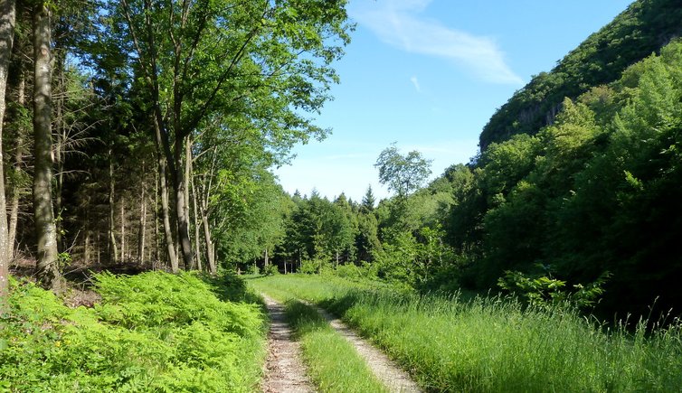
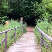
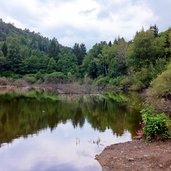
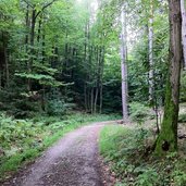
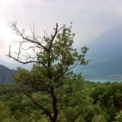
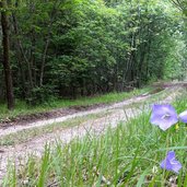
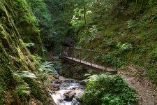
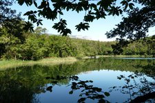
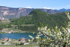
The southern part from Langmoos to the cliffs of Vadena, near the Monticolo Lakes, is our hiking destination
Image gallery: Hike on the Monte di Sotto of Monticolo
The Monte di Mezzo mountain (Mitterberg) around the village of Monticolo (Montiggl), located northeast of Caldaro, is a popular hiking destination especially in spring and autumn. In summer it is often too hot here, not so today - it's cloudy. We start at the Big Monticolo Lake - the famous local recreation area of the Oltradige area - which we cross over the wooden bridge at the southern reed belt and follow the forest road "Stazione Rai" for a short while.
Then the Langmoos path branches off. Lake Langmoos is a small forest lake, quietly located and hidden in the wood. We continue our walk through the Totental, the Valley of the Death, until the Unterberg forest path branches off on the right.
We follow this path and take soon the Valplon path on the left. From this path, the "Kleines Steintal" forest road up to the Monte di Sotto mountain branches off. From there we walk towards north and take the path "Pfattner Wände" (cliffs of Vadena). It finally turns into the "Stazione Rai" road again which leads us back to our starting point.
Author: AT
-
- Starting point:
- Lago di Monticolo lake (parking space)
-
- Time required:
- 03:00 h
-
- Track length:
- 10,4 km
-
- Altitude:
- from 497 m to 658 m
-
- Altitude difference:
- +284 m | -284 m
-
- Signposts:
- no. 20, 5, forest paths: Stazione Rai, Langmoos, Totental, Unterberg, Valplon, Kleines Steintal, Pfattner Wände
-
- Recommended time of year:
- Jan Feb Mar Apr May Jun Jul Aug Sep Oct Nov Dec
-
- Download GPX track:
- Hike on the Monte di Sotto of Monticolo
If you want to do this hike, we suggest you to check the weather and trail conditions in advance and on site before setting out.
