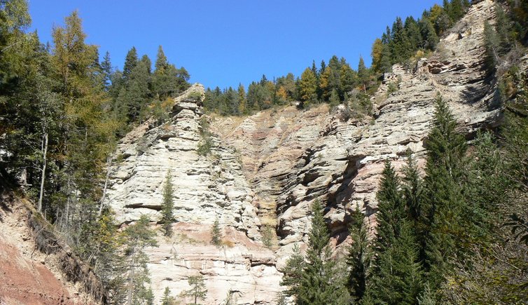
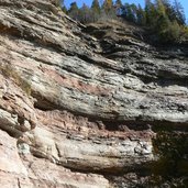
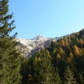
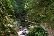
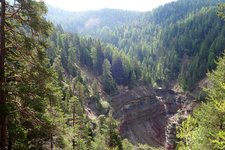
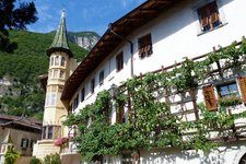
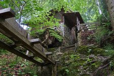
The Rio delle Foglie or Bletterbach Gorge, the “Grand Canyon of South Tyrol”, is located at the foot of Mt. Corno Bianco
Image gallery: Hike through the Bletterbach Canyon
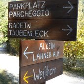
By car we branch off 1 km past the village of Aldino (Aldein) towards Lerch and follow the signposts to the GEOPARC Bletterbach. Slightly below the Aldino Visitor Centre there's a big parking space where our hike starts.
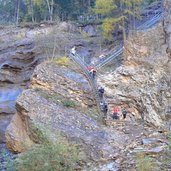
The ascent into the gorge follows the trail no. 3, then we hike upstream to the Butterloch Waterfall. At this point we have to walk back for a short section in order to get out of the stream bed on the Jagersteig. We can either continue towards "Görz" (1,650 m a.s.l.) or follow the GEOtrail to the Malga Lahner mountain hut. We decide for the latter and stop at the lovely mountain hut. A forest path leads us back to the parking space.
The Bletterbach Canyon in the Aldino-Redagno hiking area is accessible via Aldino (parking space at the GEOPARC Visitor Centre) on the GEOtrail as well as via Redagno (parking space in front of the Peter Rosegger House) on the trail no. 3. Sturdy shoes and surefootedness are necessary! The gorge stays open from the beginning of May until autumn and is accessible only with helmet (available at the starting point).
Author: ED
-
- Starting point:
- parking area of the Geoparc Bletterbach visitor centre, Aldino
-
- Time required:
- 01:30 h
-
- Track length:
- 4,2 km
-
- Altitude:
- from 1.414 m to 1.613 m
-
- Altitude difference:
- +201 m | -201 m
-
- Route:
- Geoparc visitor centre - Rio delle Foglie Gorge - Educational Trail
-
- Signposts:
- Nr. 3 - geological path - Jagersteig - Educational Trail
-
- Resting points:
- Lahner Alm
-
- Recommended time of year:
- Jan Feb Mar Apr May Jun Jul Aug Sep Oct Nov Dec
-
- Download GPX track:
- Hike through the Bletterbach Canyon
If you want to do this hike, we suggest you to check the weather and trail conditions in advance and on site before setting out.
