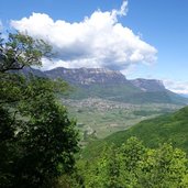
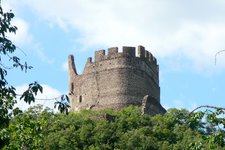
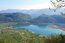
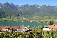
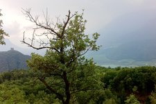
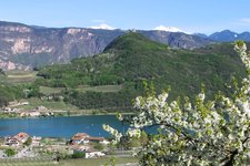
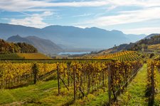
The legendary Castelchiaro Fortress high above Lake Caldaro is a popular excursion destination
Image gallery: Hike to the Castelchiaro Fortress
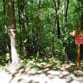
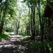
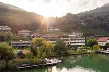
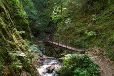
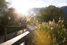
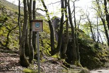
On a beautiful Sunday morning in autumn we - that is to say two women and four kids between 3 and 8 years - drive towards Lake Caldaro and park our car in the hamlet of Campi al Lago (Klughammer) right before the signpost "Kreit". Our hike to the Castelchiaro Fortress starts on the path no. 18, first steeply uphill, then following a wide forest road also used as MTB trail.
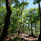
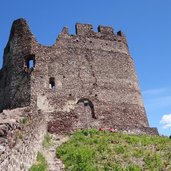
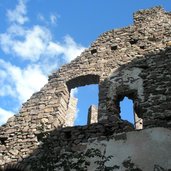
At this point we can choose between the longer and wider trail (approx. 50 minutes) or the alternative path which is shorter and steeper. Our kids want to reach the knight's castle as soon as possible so we follow the steep trail and arrive at the Castelchiaro Fortress (Leuchtenburg) after a 15-minute uphill walk.
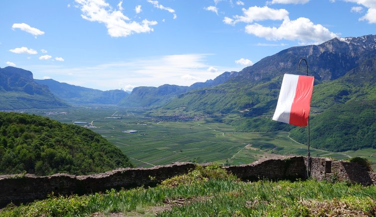
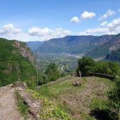
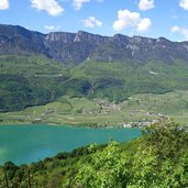
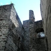
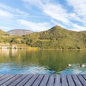
The shady inside of the ruin can be reached by a short iron stairway, the walls are perfect to climb and explore. Near the flag behind the castle the view opens up on the turquoise Lake Caldaro and its surroundings (if you look over the wall). After a picnic we start the descent on the same trail.
Author: RD
-
- Starting point:
- Parking Campi al Lago
-
- Time required:
- 01:50 h
-
- Track length:
- 4,9 km
-
- Altitude:
- from 221 m to 574 m
-
- Altitude difference:
- +353 m | -353 m
-
- Signposts:
- No. 18
-
- Destination:
- Castelchiaro Castle
-
- Recommended time of year:
- Jan Feb Mar Apr May Jun Jul Aug Sep Oct Nov Dec
-
- Download GPX track:
- Hike to the Castelchiaro Fortress
If you want to do this hike, we suggest you to check the weather and trail conditions in advance and on site before setting out.
